OfflineMaps offers you access to a vast array of maps, ensuring you never get lost, no matter where you are! With our service, you can enjoy a seamless experience free from the usual digital annoyances:
Tired of waiting for maps to load? With All-In-One OfflineMaps, once a map is displayed, it's stored and remains accessible instantly, even without an internet connection. This feature is perfect for:
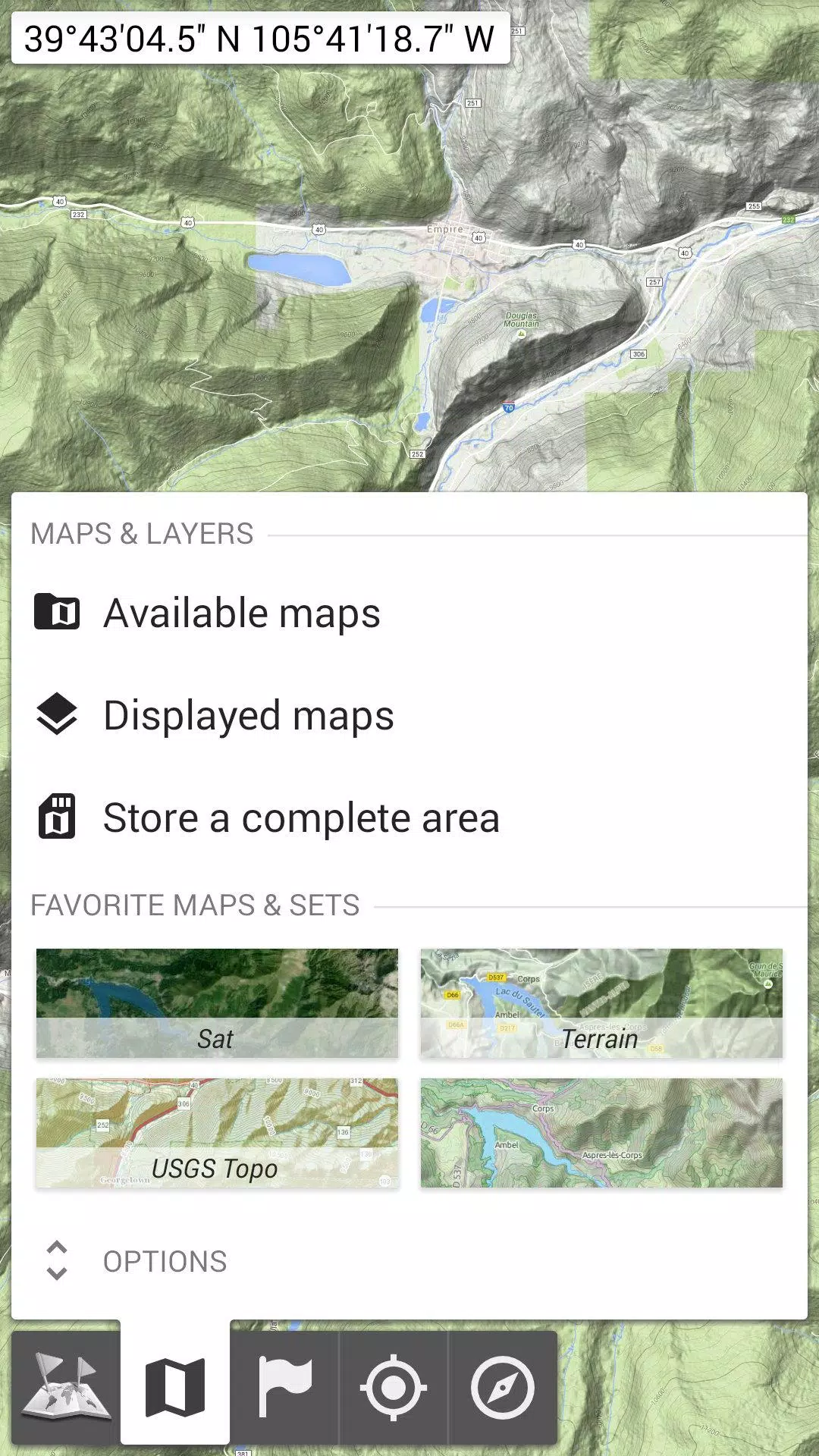
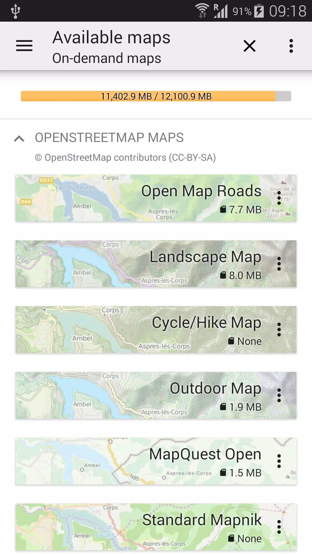
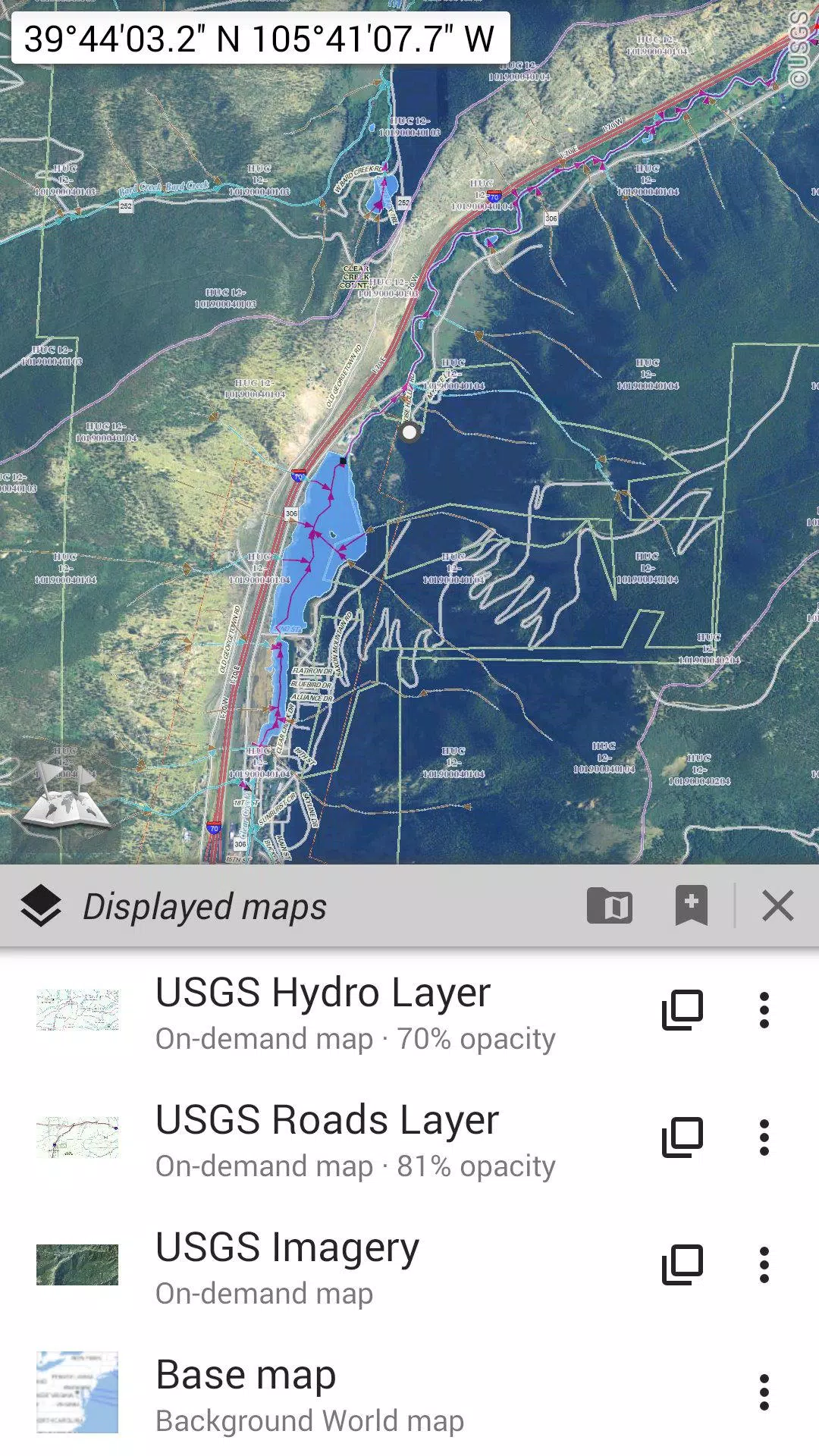
Explore a wide range of maps, from classic road maps to detailed topographic and aerial (satellite) maps. You can also enhance your maps with various layers such as:
Our maps support:
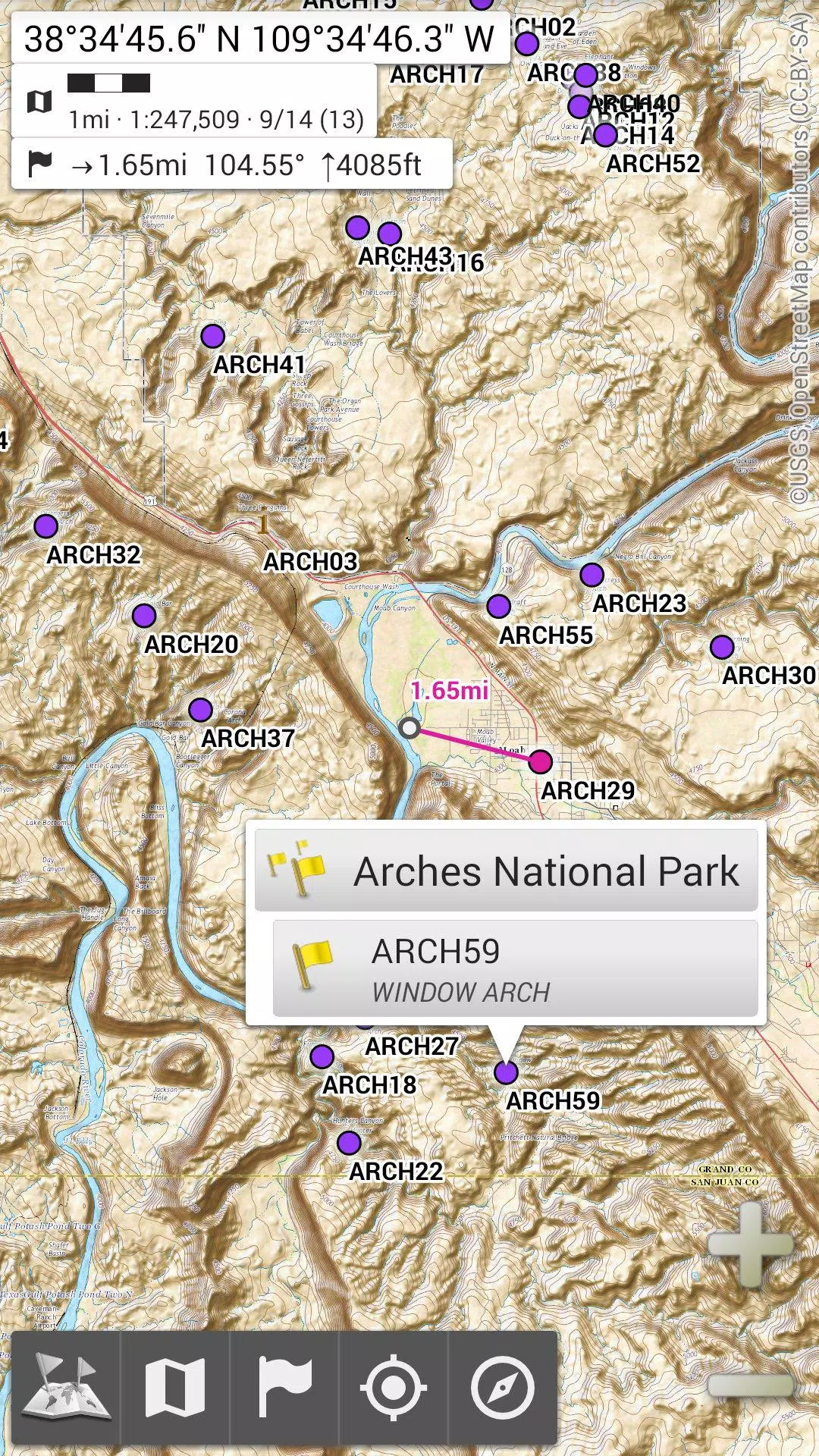
Enhance your maps by adding various items such as waypoints, icons, routes, areas, and tracks. Manage these effortlessly with our powerful SD-Card Placemarks Explorer.
See your real-time location and direction clearly displayed on the map, which can be rotated to align with your actual orientation (depending on your device's capabilities). Easily toggle this feature on and off to conserve battery life.
Additional features include:
For the ultimate outdoor adventure, try AlpineQuest Off-Road Explorer, the comprehensive outdoor solution built on All-In-One OfflineMaps. It includes a powerful GPS Track Recorder and more. Discover it at alpinequest.net/google-play.
Girls Frontline 2: Exilium Global Website Goes Live, Along With Its Socials!
Marvel Rivals: Understanding Bussing and Catching It
New Game Plus in Assassin's Creed Shadows: Confirmed?
Top Skills to Prioritize for Yasuke in Assassin’s Creed Shadows
Death Stranding 2 Release Date Unveiled in Massive Trailer
Assassin’s Creed Shadows Movements Reviewed by Two Parkour Athletes
Pokemon GO Leak Teases New Adventure Effects
Amazon Music Unlimited: Free 3-Month Trial Available

Oni Press Unveils Mind-Bending Series Inspired by Philip K. Dick
May 22,2026
Monster Hunter Board Game: Guide & Expansions
May 22,2026
Ragnarok M Eternal Love Class Tier List - The Best Classes in the Game (Updated July 2025)
May 21,2026

MLBB Lite Launches in Africa
May 14,2026

Overwatch Mobile could still be coming as Nexon pen new deal with Blizzard
May 13,2026
 Category

 Download


Discover the best professional photography software! This comprehensive review features top-rated apps like ReLens Camera, PhotoKit AI Photo Editor, Pixlr, YouCam Perfect - Photo Editor, GCamera: GCam & HD Pro Photos, Photo Studio PRO, Lightleap by Lightricks, Google Camera, PhotoShot, and Photoroom. Compare features, user reviews, and pricing to find the perfect app for your photography needs, whether you're a beginner or a pro. Enhance your images with AI-powered tools, advanced editing capabilities, and stunning filters. Elevate your photography game today!
Photoroom AI Photo Editor
Photo Studio PRO
ReLens Camera
Pixel Camera
Pixlr – Photo Editor
YouCam Perfect - Photo Editor
PhotoKit AI Photo Editor