Google Earth is an innovative application that offers users the ability to explore the planet through detailed satellite imagery and immersive 3D views at no cost. This powerful tool brings the world to your fingertips, allowing you to delve into the beauty and complexity of our planet from the comfort of your own space.
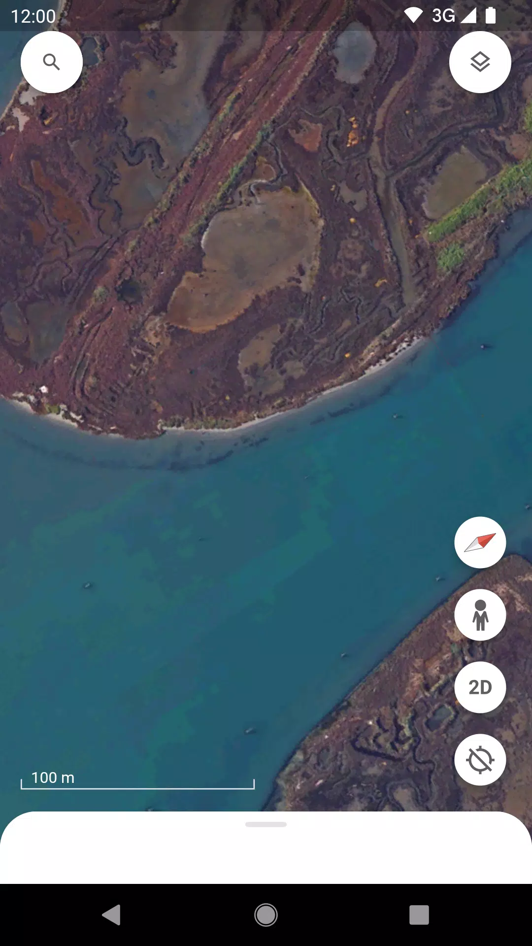
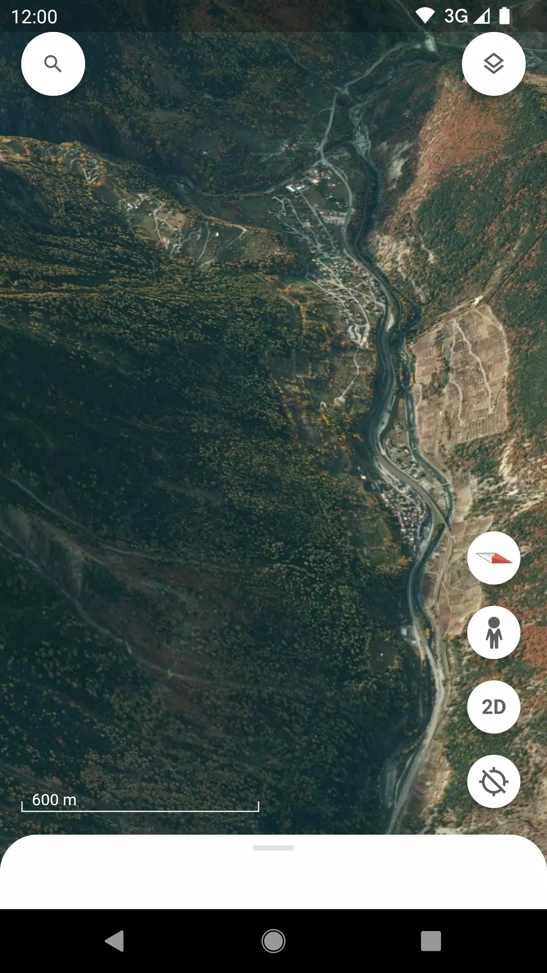
Experience the World in 3D: Google Earth's cutting-edge 3D graphics technology lets you embark on a visual journey around the globe. From towering mountains to sprawling cities, the application renders a vivid and lifelike representation of the Earth.
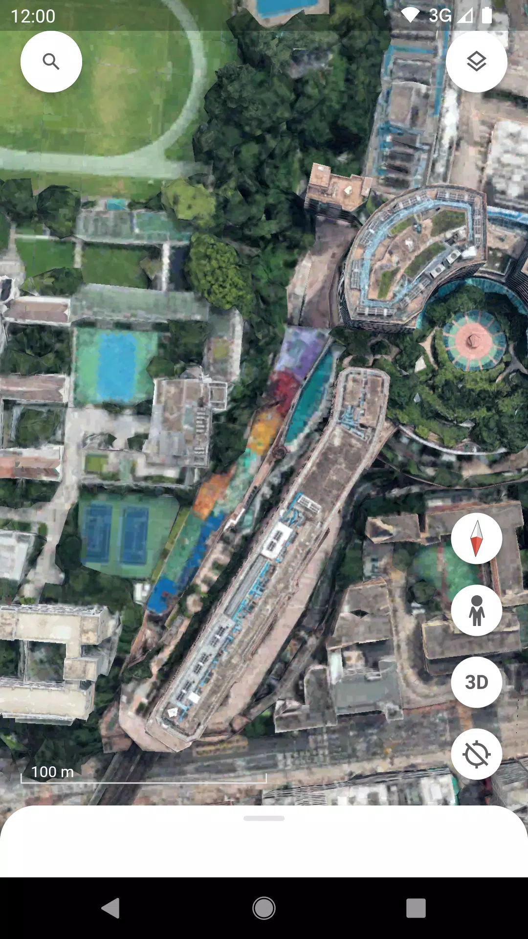
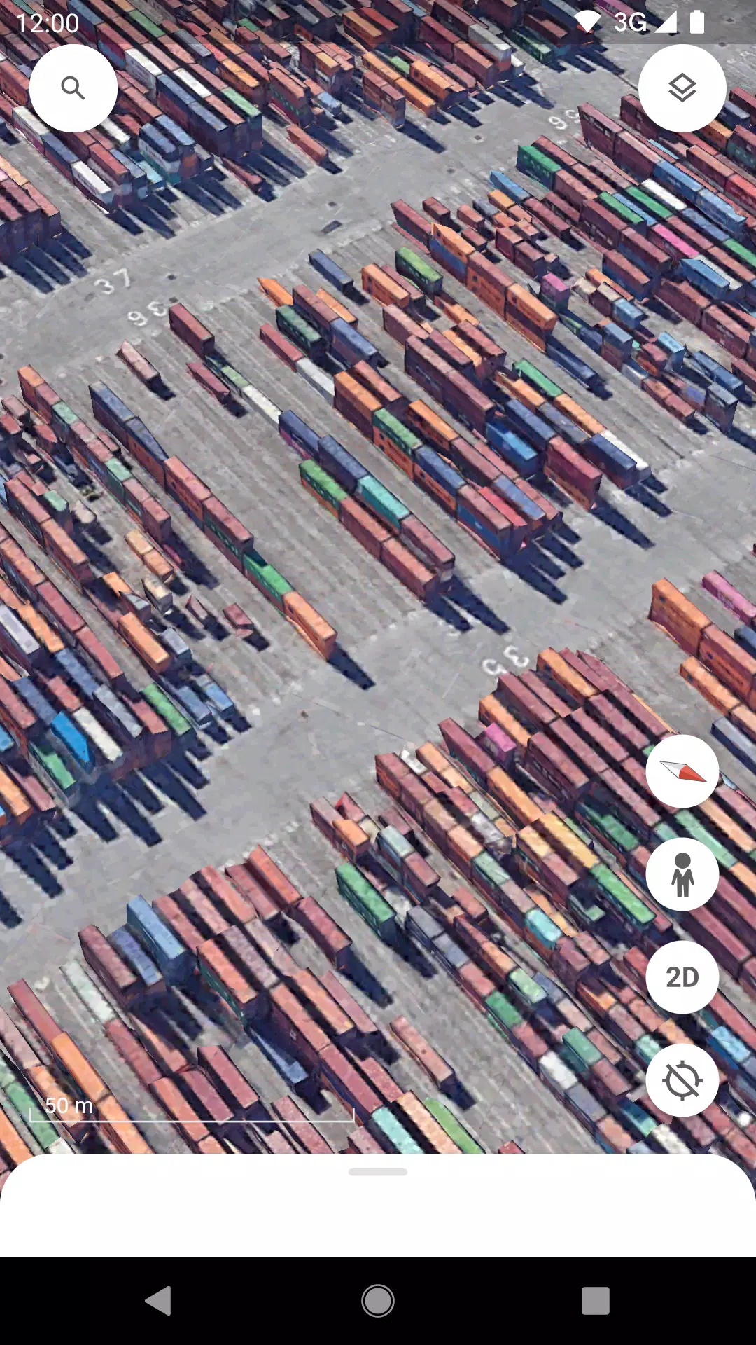
Navigate with Ease: With the ability to zoom in and out of hundreds of cities, you can explore urban landscapes in detail without ever leaving your seat. This feature enables you to get a closer look at landmarks, neighborhoods, and even your own home.
Enrich Your Knowledge: As you traverse the planet, Google Earth's knowledge cards provide valuable information about the places you visit. This feature turns your exploration into an educational experience, offering insights into geography, history, and culture.
Dive deeper into the Earth's surface with Google Earth's comprehensive satellite imagery and detailed 3D terrain models that cover the entire globe. The application also features 3D models of buildings in numerous cities, enhancing your exploration with a realistic sense of scale and architecture. Utilize the Street View feature to gain a 360° perspective of any location, immersing yourself in the environment as if you were there.
For a curated experience, the Voyager feature offers guided tours from renowned sources such as BBC Earth, NASA, and National Geographic. These tours provide unique perspectives and stories from around the world, enriching your understanding and appreciation of our planet.
Additionally, Google Earth now supports seamless integration between web and mobile devices, allowing you to access and interact with the maps and stories you create on any platform.
Last updated on Oct 24, 2024
Google Earth continues to evolve, and the latest version 10.66.0.2 introduces a refreshed interface and new functionalities. This update enhances user collaboration across devices, enabling you to create maps on the go and integrate photos directly from your camera into your maps. These features make Google Earth not only a tool for exploration but also a platform for sharing and storytelling.
Girls Frontline 2: Exilium Global Website Goes Live, Along With Its Socials!
Marvel Rivals: Understanding Bussing and Catching It
New Game Plus in Assassin's Creed Shadows: Confirmed?
Top Skills to Prioritize for Yasuke in Assassin’s Creed Shadows
Top 25 Action Films Ever Ranked
Top Free Fire Characters 2025: Ultimate Guide
Death Stranding 2 Release Date Unveiled in Massive Trailer
⚡ Get Access Now: Exclusive Roblox Pet Star Simulator Codes (Jan '25)

"Legend of Zelda Games Coming to Nintendo Switch in 2025"
Aug 26,2025
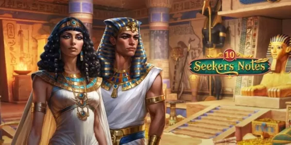
"Seekers Notes Unveils Summer's Ancient Egyptian Mysteries"
Aug 25,2025

Resident Evil Survival Unit Mobile Launches Later This Year
Aug 10,2025

Rush Royale Unveils Update 30.0: Spring Marathon with Twilight Ranger
Aug 09,2025
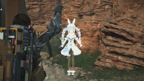
Kojima’s Death Stranding 2 Welcomes Hololive’s Pekora as NPC Cameo
Aug 08,2025
 Category

 Download


Discover the best professional photography software! This comprehensive review features top-rated apps like ReLens Camera, PhotoKit AI Photo Editor, Pixlr, YouCam Perfect - Photo Editor, GCamera: GCam & HD Pro Photos, Photo Studio PRO, Lightleap by Lightricks, Google Camera, PhotoShot, and Photoroom. Compare features, user reviews, and pricing to find the perfect app for your photography needs, whether you're a beginner or a pro. Enhance your images with AI-powered tools, advanced editing capabilities, and stunning filters. Elevate your photography game today!
Photoroom AI Photo Editor
Photo Studio PRO
ReLens Camera
Pixel Camera
Pixlr – Photo Editor
YouCam Perfect - Photo Editor
PhotoKit AI Photo Editor